Showing posts with label waterfalls. Show all posts

Monday, 23 June 2014

A Bus ride and Waterfall walk, Hawes, Wensleydale


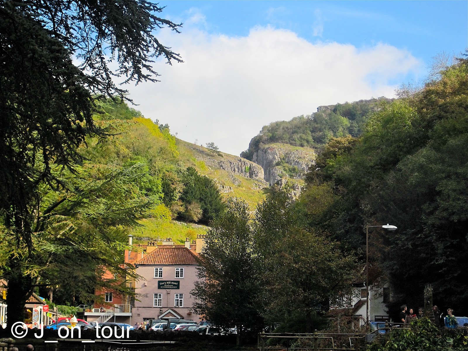
Now that I have finished my trio of Welsh posts, I'd like to follow that up with a group of three individual posts. As with the last series, the reasons will become obvious by the third post.

I have been loosely associated with a West Yorkshire social and walking group for some time, My friend, known to you as the Scarborough Sandcastle manager has a similar friendship to the people in the group. The Leeds link asked him to organise a Yorkshire Dales day event and this is the ... err ... timing challenges that he came up with. Apologies for the ordinary bunch of images but due to the snapshots, constant catch up and exhaustion of the day ... I'm putting a bit more effort here into the autobiographical writing style on this occasion, hope the variety holds it.

At the start of the day, I had my unfounded doubts on some unknown variables such as how many people would turn out for an early start so far from their usual stamping ground and was the day too ambitious ?


We descended with our cars in Leyburn and caught up with old friends before the vintage bus arrived from Ripon in mid morning. Thankfully there were enough seats for everyone.

It was a pleasant journey along some less well known roads through Wensleydale  from Leyburn in the East to Hawes in the west.

For those interested in the route here's a link for the current ...  Vintage Dales bus timetable

Not the most vintage bus in the fleet but reliable nonetheless !
Essentially the bus covered the tourist hot spots along the way such as Castle Bolton, Aysgarth Falls and a connection point with the Wensleydale Railway car park at Redmire (above). A suitable photo opportunity and a quick stretch of the legs while we waited for the arrival of the train from Leeming Bar.


On arrival at the Hawes Railway station car park, it was somewhat surprising to be greeted with the above scene considering that the railway currently terminates at Redmire.

Transport of the past going to places in the future !
On closer inspection, it turned out that this was a static exhibit realising the dream for the public of the hopefully not too distant future... I was left wondering whether in turn that would retire the vintage bus service for good.

The narrowest but longest shop award ... in my opinion
Readers may remember that I've been here before in an autumn deluge of rain ... (Hawes 2010)  and covered a few shots and history of the town including the rope makers. The weather was that bad on that day that I chose not to photograph the front door of the unusual Ropemaker's shop. Hope this redresses the balance.


Enough of transport and history, it was time to stock up on some packed lunch as there was no time to shop in Leyburn. We were inspired to pick up some local delicacies in this Butcher / Baker's shop.


Unfortunately though not everyone was welcome in the shop despite the longing eyes wondering what the contents of the paper bags were.


My friend and organiser for the day is known for his walks and to be fair the next leg of the journey was only a flat 4 miles (6.4km) round trip on flat terrain to a waterfall. The group of 9 people that turned out from the Yorkshire social group (plus myself, the organiser and another friend) had experience in walking and those that were just interested in tourism seemed to stay away.


Despite the short distance, there was always the thought in the back of my head about what time the bus departed at and whether or not this short distance was achievable or not. The scenery was quite pleasant anyway crossing over the fields.


It wasn't long though before we arrived at the toll point of The Green Dragon Inn.

13th century Inn


The land to the rear of the pub which includes Hardraw Force is maintained by the owners of The Green Dragon Inn. A quick look at the website reveals that the fee has increased with inflation to the princely 2014 sum of £2.50.


Hardraw Force at the end of a short wooded ravine walk is reputed to be England's highest single drop waterfall. Visiting here on a school geography trip when I was about 14 years old, I remember walking behind the waterfall on a ledge. Sadly today with erosion, water spray, slippy rocks, Health and Safety, that is no longer possible or even inviting for that matter.


Time for lunch followed by a communal dessert sample of Yorkshire Curd Tart that one kind person bought in the shop earlier.


... and enough time to sample the delights of The Green Dragon before the walk back to Hawes.


We made good time and had about 30 minutes spare to have a quick look around before the bus departed. It was an opportunity to catch anything I missed or couldn't take because of the weather on the previous occasion. Come to think of it, I've never ever been here on my own before to look ... and wait ... for the best shots, it's always been a rush !


As I didn't have the time to lose myself in what I was doing I opted to retake the shepherd sculpture in the middle of the street.


 It is apt to mention at this point that the Tour de France cycle race has an opening leg in a foreign country and this year part of that is in Yorkshire. Le Tour passes through Hawes on July 5th 2014 en route to Swaledale at the northern end of the clockwise Dales circuit.

The bus journey back to Leyburn between 3 and 4pm seemed less memorable than the outward one partly because we were covering the same ground in reverse, but more importantly with the talking all done and the constant drone of the engine, most of us to nodded off for a snooze at various intervals.
However everyone had a rude awakening on the rickety approach turning off the main road and award winning reversing manoeuvre into Redmire Railway station car park.


One thing that kept me going was the thought of a pub meal at 6pm in Leyburn square. However little did I know what was in store for me next. Some of the girls fancied the freedom of a 1 hour shopping spree ... not something that readily comes to mind in Leyburn considering the flagship shop is an Ironmonger !!
The town wasn't conducive to photography as there were too many cars parked everywhere so I went with the alternative plan from my friend who doesn't give up easily on walking.


The Leyburn Shawl walk is one of the most subtlest inclines and is essentially an extension of a walk to the park where the visitor is constantly enticed to go a little further for a slightly better tree free view. I knew I had to do this option as I was the reins on this walk that looked like galloping away and missing the 6pm gastro appointment. I distinctly remember saying "We need to go back, it's 5 o'clock now" and "It's ten past five now" !! The downhill section in 50 minutes seemed more acceptable !!

We were met by the shoppers 3/4 of the way back in the park who didn't know what else to do, so thought they'd wait for us with the immediate view of Wensleydale to enjoy.


All in all it was a great day out, but we hardly had any slack in the timings to send a postcard ...

... and we could have done with the services afterwards of one of the Leyburn businesses...


Thursday, 17 February 2011

Cheddar Gorge, Somerset


Cheddar Gorge in the Mendip hills of Somerset is made of Limestone Rock. The walls of rock can be accessed and viewed from the road that dissects it. It is probably better known for the origin of Cheddar cheese, the underground cave system and the subsequent village it has created.

The cone fairy and yellow line rules !

Cheddar Gorge is a small distance from the village of Cheddar but this place has developed as a commercial centre and is a village in its own right thanks to the tourist industry. I remember visiting the place as a child, so it was with some interest that I returned.

A few general overview pictures first before I finish off with the main attractions on offer...

Street with cave entrance in the background ...1960's !!

Old Rowlands overlooking the river, Cheddar Gorge

Derrick's Tea rooms, Cheddar. Picturesque house converted into tourist shops.


Although I don't want to sound too cynical and negative, it is possible to take your eye elsewhere by cropping your panoramic view and seeing some of the unspoilt natural beauty around that still exists.

House on the hill, Cheddar Gorge

The Gorge, Cheddar Gorge
Although I never visited the village in high summer in recent years, the first thing that struck me is the difficulty with traffic and car parking. The first time car visitor normally drives up the street looking for a car park nearer the attractions and ends up unsuccessfully in the walls of the Gorge viewing spectacular scenery while trying to remember that a car or a tourist bus is travelling behind them. It is virtually impossible to park anywhere except the main car park and as it is not on a vast scale, the local authorities seem to encourage short term parking.

The Old Cheddar Barn, Cheddar Gorge
The products of Somerset and The West country are readily on sale here and even though it is difficult to  verify authenticity, it doesn't deter the visitors, there are other business's who try to counter the problem with their own commercialism ...

Loads of the stuff ...
Cheese has been produced here since the 12th century as the adjacent caves provide the ideal environment for its maturing. Evidence suggests that ancient kings visited to purchase the cheese from Henry II to Charles I.


... and a bit more !
In the 1860's, Cheddar cheese production was standardised with modern equipment by Joseph Harding who was a local dairyman. Even though the real Cheddar cheese is meant to be made within 30 miles of the village, Harding introduced the cheese and process to Scotland and USA while later his son took it to Australia.


The Cheese was matured at cold consistent temperatures and humidity in Cheddar Caves. Larger caves were discovered by cave explorers Cox and Gough in 1837 and 1903. These intricate underground chambers are another reason to attract the tourist although it seems like more of a parallel Harry Potter theme park at times ....


Monday, 25 October 2010

The Waterfalls walk, Ingleton


The Waterfalls walk is a 4.5miles (8km) well trodden path, triangular shaped route on a private land path that has been popular with people since Victorian times.
On leaving the town of Hawes, the weather improved marginally enough to press on with our journey towards the previously mentioned Ribblehead viaduct. Although I had been down this road twice before, I didn't realise the serious height gain on the road as we climbed slowly up the hill. This was made more noticeable by the low lying cloud that we had entered !! We had hoped to see the summit of Whernside at one stage but I gave up that idea rather quickly because on reaching Ribblehead, we couldn't even see the viaduct far less the mountain behind it.
For those who don't know what to look out for, you have a far better idea of the view than my fellow passengers who still don't know what this view looks like......

Whernside and Ribblehead viaduct in happier times !! .... 13th May 2010

I had a reserve walk option up my sleeve of something a bit lower, less exposed, scenic and possibly worthwhile considering the amount of rain in the last few days at Ingleton. Apologies to the hardened walkers out there reading this..... yes, I know.......the last time I did this walk was when I took my Mother for a long day out in the car many years ago.
I knew that there might be an entrance fee into the grounds but unfortunately it was a long time ago and it was a bit difficult to accept that it was going to cost £18.


The ticket salesman did mention that we had free parking, but he couldn't understand the argument that it would cost the same if we had arrived in four cars.

After putting on our boots and setting out on the walk, we came across a tree that was filled with two pence pieces.....


It seems to be a long standing tradition that people place small amounts of money in certain specified tree trunks as either a good luck charm or a wish. I was wishing that the weather had been better & thinking..... I wonder what the gatekeeper does with all his small coins from the entrance fees !!


The first section of the walk follows the course of the River Twiss with several smaller waterfalls gradually gaining height towards the main falls of Thornton Force (title photo)

Over the edge.... for Thornton Force !

no medals for this performance, wrong pool... kayaks only
My fellow walkers decided that it was just as wet outside the water as it was in, so they threatened to dive in !!
We eventually reached the top of the hill and crossed the river. The remaining member of my group is spotted on the bridge trying to capture an illusive photograph before me.  I was going to leave this photo out as I spent a lot of time with the four image options I collected. I quite liked the angles of the posts, tried several variations but wasn't happy with the result with no-one on the bridge. I haven't had time to ask for permission to publish this yet, my friend has become faceless, sorry to him!!

vanishing point... well, not quite !


The middle section of the walk was along a mixture of farmland tracks and paths amongst the low clouds


We came across a selection of gates both old and new near White Scar caves. Welcome to weather........


The last section back to the car park followed the course of the River Doe with numerous smaller falls and a gorge


Lastly, even though the walk was only 4.5 miles long, the rain started again and it seemed like a long time before we arrived in Ingleton. You know it's a bad sign when a dog keeps an eye on the weather !! .

...... well, there was no space in the tree for my coins, I've saved them for a hot drink.. (to be continued !)

Related Posts with Thumbnails